Elevation from rivers #
In my polygon map generator from 2010 I built the mountains based on the coastline, then made rivers flow down from the mountaintops. I’ve been exploring a different approach. Last week, I grew rivers up from the coastlines. My goal this week was to build mountains that matched the generated rivers.
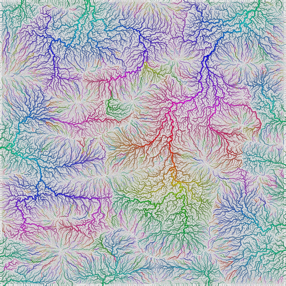
Procedural river drainage basins #
In a normal procedural generator I would start with elevation, then figure out oceans by looking at where the elevation is low. For my procedural generator from 2010, I started with the oceans and then build elevation to match. Working backwards led to some cool maps. I worked forwards for rivers though, making water flow downhill, then calculating river drainage basins. I'm always looking for opportunities to solve problems backwards, so this time I'm trying to make river drainage basins first, then make the rivers flow uphill, then build the elevation to match. This paper is part of the inspiration. I'd also like to be able to place some of the rivers and have the system figure out where the rest of the rivers are.

Data structure for triangle meshes #
Most of my project use grids. I rarely work with polygon structures. When I worked on my polygon map generator project in 2010, I created my polygons thinking of graphs: nodes and edges. People who work with polygons have better ways of representing them, but I hadn't studied them until now.
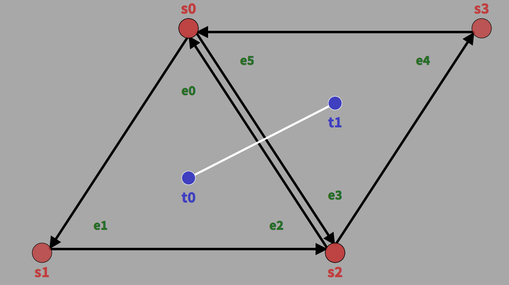
For my new map generation experiments I'm learning about half edge, winged edge, quad edge, and other data structures. I wrote my notes here.